Status: Ongoing
Project Start: May 2014
State: Maryland
Locality: Prince George’s County
Funding Source: Prince George’s County Department of the Environment
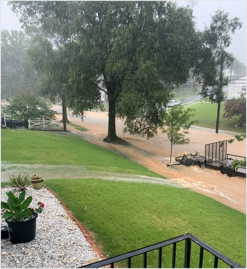
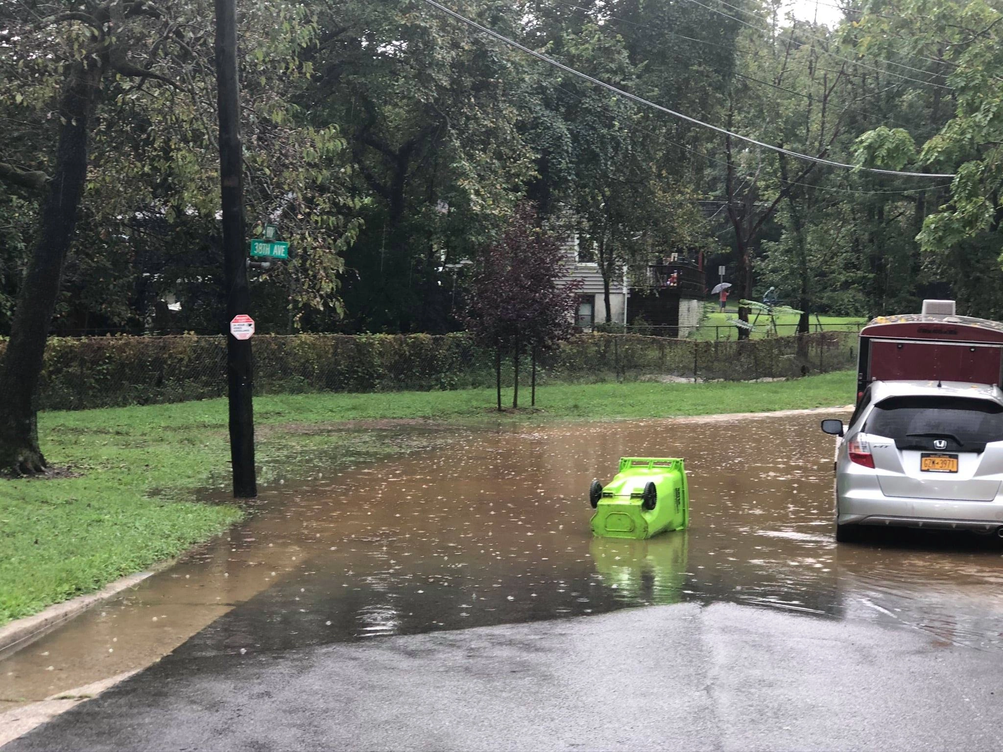
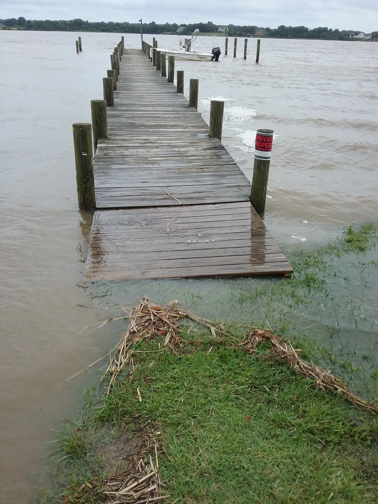
The Prince George’s County Nuisance Flood Plan advances the County’s ability to manage chronic, localized flooding that is overlooked by FEMA floodplain maps or traditional hazard planning. The LID Center served as the prime consultant, project manager, and lead author for both Phase 1 and Phase 2 of this effort. Phase 1 focused on documenting and assessing high tide flooding within the County’s tidal communities, establishing the foundation for broader nuisance flood analysis.
Phase 2 refined the County’s understanding of nuisance flooding by integrating expanded datasets and deeper risk analysis. Through this enhanced research, the LID Center identified equitable and actionable strategies to reduce flood impacts across urban, suburban, and coastal areas of Prince George’s County.
Key elements of Phase 2 included:
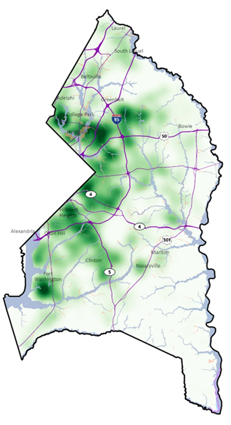
- Using FEMA flood insurance claims data and County 311 records to identify flood-prone areas otherwise missed by regulatory mapping.
- Integrating high-resolution LiDAR and rainfall data to identify vulnerable streets, structures, and infrastructure.
- Developing a County-wide screening and prioritization framework with both physical flood risk and social vulnerability indicators to ensure equitable decision-making.
- Facilitating an interagency advisory committee of senior staff from DoE, DPW&T, DPIE, OEM, and others departments to provide policy and implementation guidance.
- Preparing an ArcGIS Story Map to summarize findings, showcase mapped flood-prone areas, and communicate priority actions to residents and public stakeholders.
- Identifying next steps for capital projects, policy and regulatory changes, emergency response coordination, and data-sharing improvements, aligned with the County’s stormwater and hazard mitigation planning efforts.
This project demonstrates the LID Center’s ability to combine spatial analysis, infrastructure planning, and stakeholder coordination to help local governments address emerging climate and flood risks with practical, equity-informed solutions.